
Weather Monitoring in the Field

Any time we head into the field, weather can have a huge impact on our experiences outdoors. From what gear to bring, what clothes to wear, to what we’ll actually accomplish when we get to our destination. Heck, weather can sometimes even determine whether we go at all.
It’s all well and good to watch the local news or check an app on our phone, but what happens if our destination is beyond the reach of cell coverage, or outside of the viewing area of the local meteorologist? What happens when our plans take us outside of the roughly 3 day window where forecasts have any chance at real accuracy?
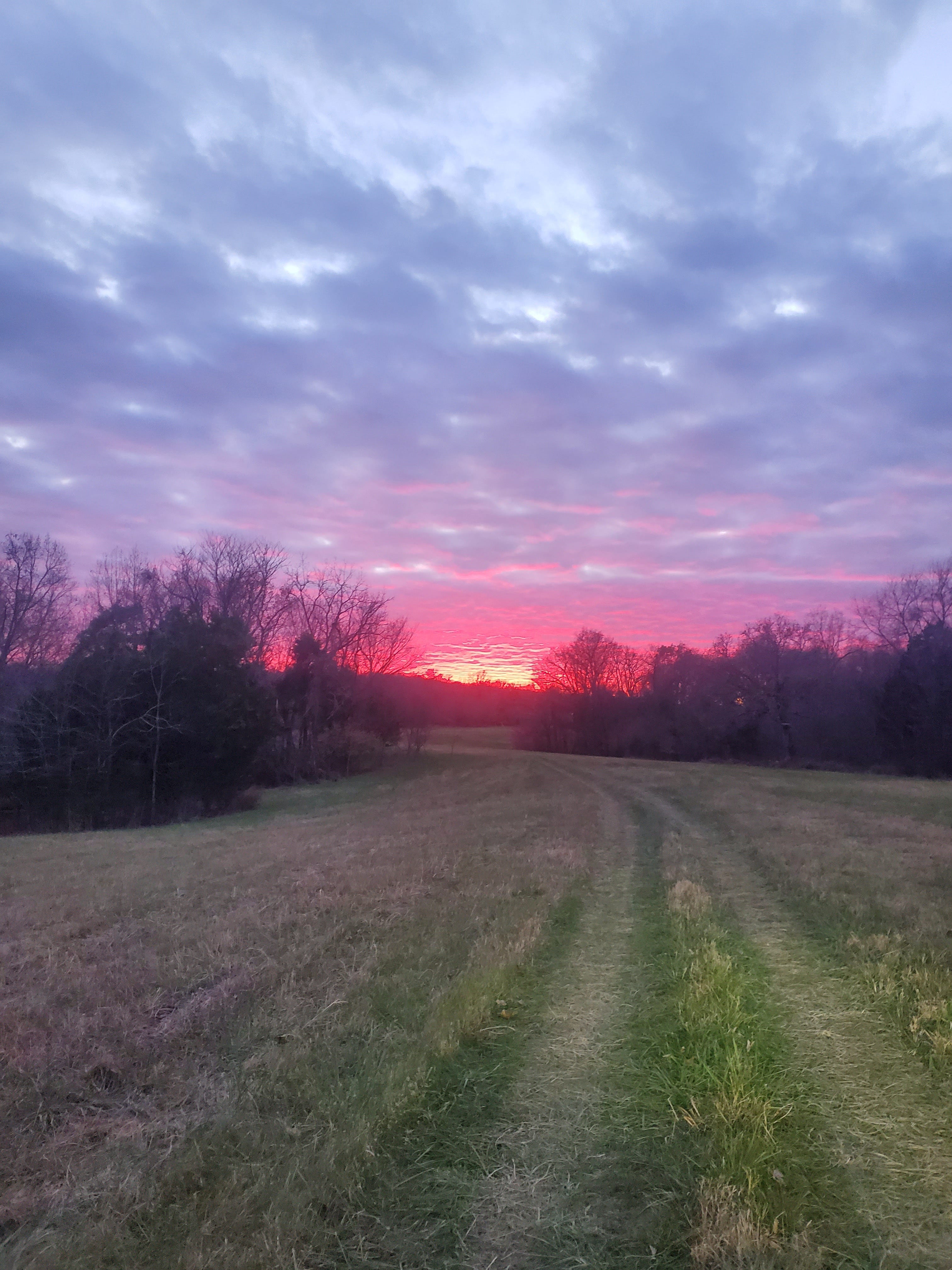
When I’m out in the field, I like to have at least some basic form of weather monitoring capabilities. Developing the skill to read the clouds is entirely independent of equipment, provided you learn the skill before heading to the field. This is a pretty good introduction to the topic. Additionally, it helps to understand the general flow of weather patterns so that you can plan for what direction the weather will likely come from, and understand what it means if the weather begins coming from an unexpected direction.
Beyond having a basic knowledge of weather patterns, there is some equipment that may be useful in the field. Something that is always on my person is a Suunto Core watch. When I picked this watch out, I wanted something cheap enough that I wasn’t afraid to use it, but with the features I needed for some baseline capability when off the beaten path. The Core has an altimeter, barometer, compass, provides sunrise and sunset times, and its second time zone is capable of UTC (otherwise known as Zulu) time. This is not a smart watch capable of text messaging via your phone, nor does it provide GPS coordinates, but it has a much better battery life without relying on a solar watch face to supplement its power. Those features would be nice to have, but with this watch as part of my EDC gear, I can layer in additional capabilities to complement it where needed. Where the Core really shines, however, is that it graphs barometric pressure over time. This allows me to identify trends at a glance and be aware when a front is moving into my area.
Depending on where I’m going and how long I plan on staying there, I may also bring a Kestrel 3500. The Kestrel has a more sensitive barometer, although it lacks the graphing function of my watch. It also includes the standard temperature, wind speed, humidity, and dew point. This isn’t one of the cool tactical Kestrels, which sync up to a ballistics calculator, but one of my primary requirements that led me to pick this particular model was measuring the dew point. This allows me to estimate cloud ceiling. For drone flying, both wind speed and cloud ceiling can become a factor. Using the following formula, I can estimate cloud cover and determine how far I can fly a drone before losing sight of it.
((Temperature in F - Dew Point in F) / 4.4) x 1000 = Feet AGLSo between my watch and Kestrel, I can monitor current conditions and predict weather major weather changes within the next few hours. But what if I want to forecast conditions for the next couple of days? If my location is covered by APRS I can use the WXBOT function to get forecasts for future days, up to a week in advance. This is nice because a simple, short message can retrieve a weather report for my current or a specified location telling me current or forecasted weather conditions without relying on a cellular or Internet connection at my current location. For a more complete overview of WXBOT commands, I recommend this site.
WXBOT
tomorrow full
Additionally, via Winlink I can retrieve various weather forecasts from the Off Grid WX Repository. If RMS Express is your Winlink client of choice, there are various WX reports available for request in the software’s catalog of requests. Provided I have done my homework and know my zone, I can also use a Winlink client to email the National Weather Service directly using the following format:
to: NWS.FTPMail.OPS@noaa.gov
subject: (anything)
body:  open
get /data/forecasts/zone/co/STz###.txt --where ST = your state and ### = your NWS zone.
quit
Finally, you can listen to the NOAA local weather frequencies. I have yet to see a 2M HT for Amateur Radio that doesn’t cover them, and many are pre-programmed from the factory to switch to them with the selection of a menu item.
162.400 MHz 	162.425 MHz 	162.450 MHz 	162.475 MHz
162.500 MHz 	162.525 MHz 	162.550 MHz
Hopefully I’ve given you a few ideas for how to not only identify weather patterns for yourself, completely off grid, but how to use services provided from areas within range of Internet coverage to provide more detailed future forecasts for you when you’re in the field beyond cell and Internet coverage.